Simplicity
An ultra simple
process.
From photo to DWG export in under 10 minutes. No technical skills required.
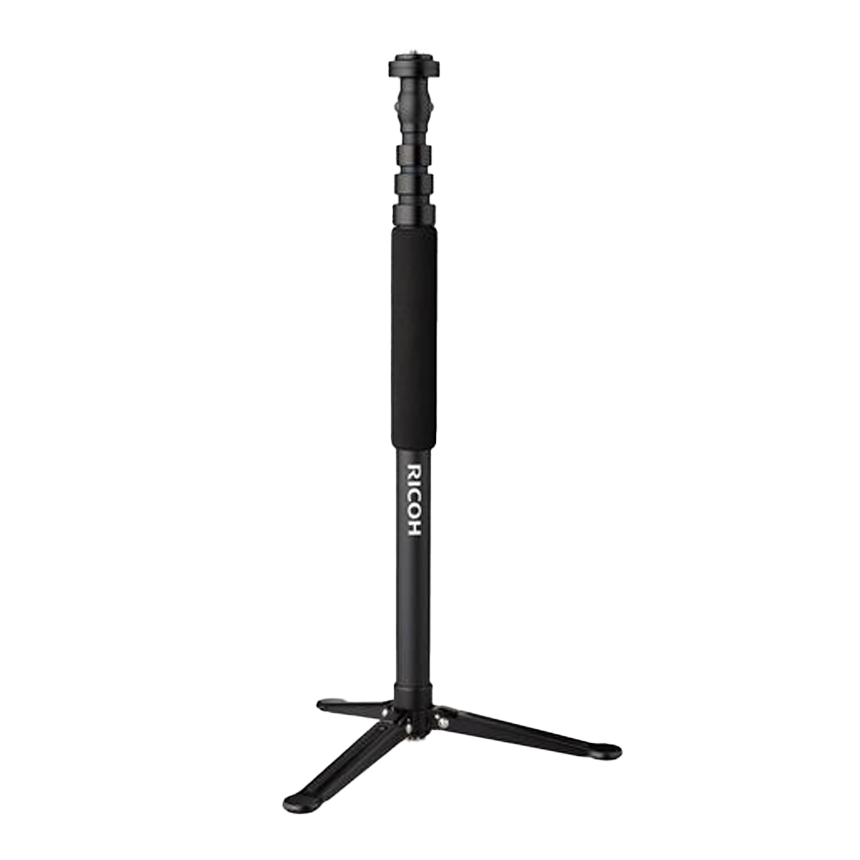
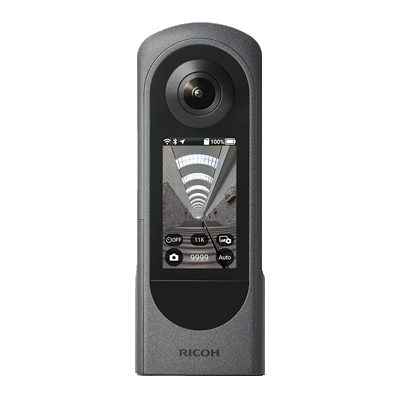
TD-1 Tripod & Ricoh Theta X camera — recommended
01
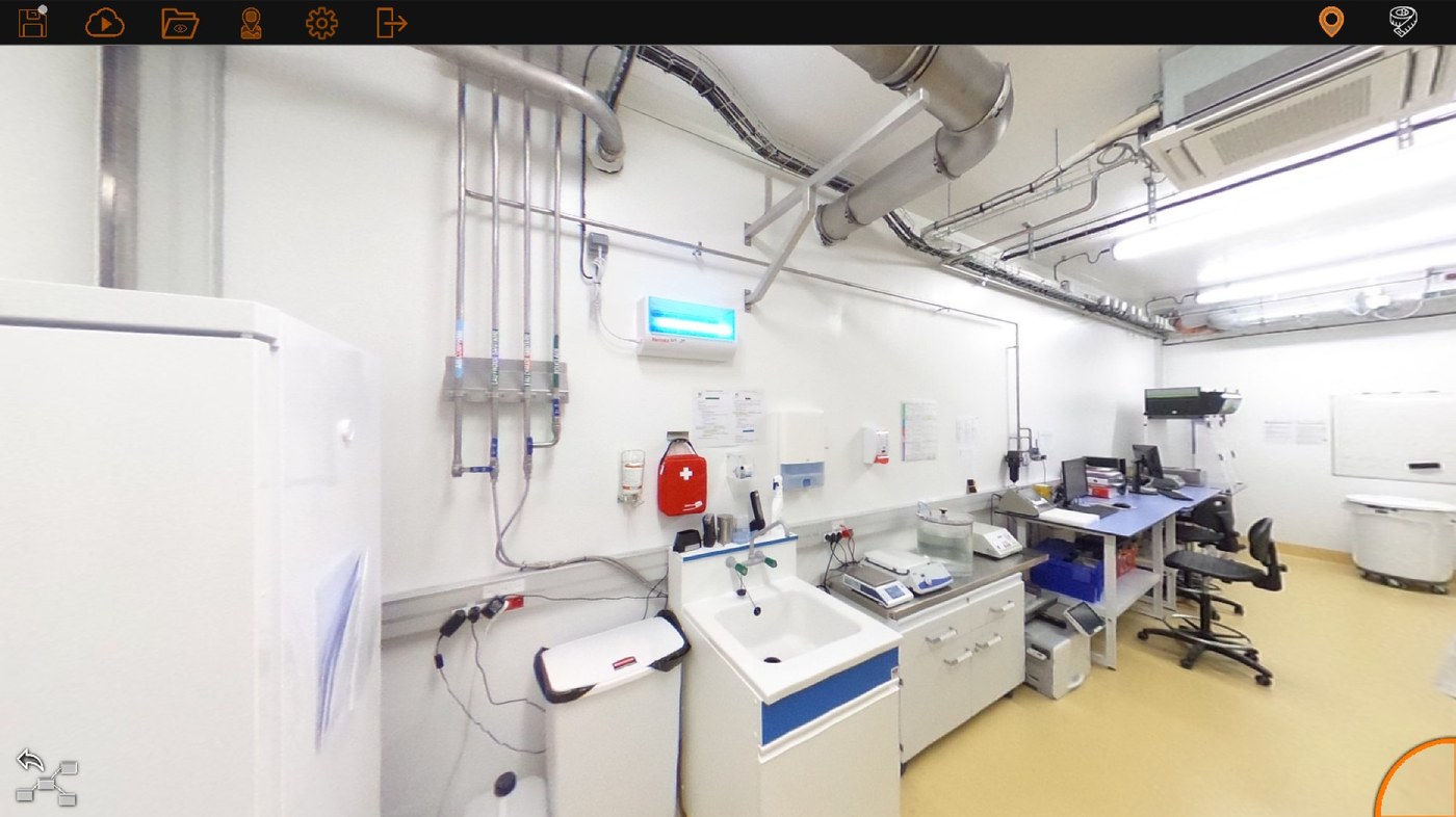
Take a 360° photo
A single shot is enough. Compatible with Ricoh Theta, Insta360 and any 360° camera.
02
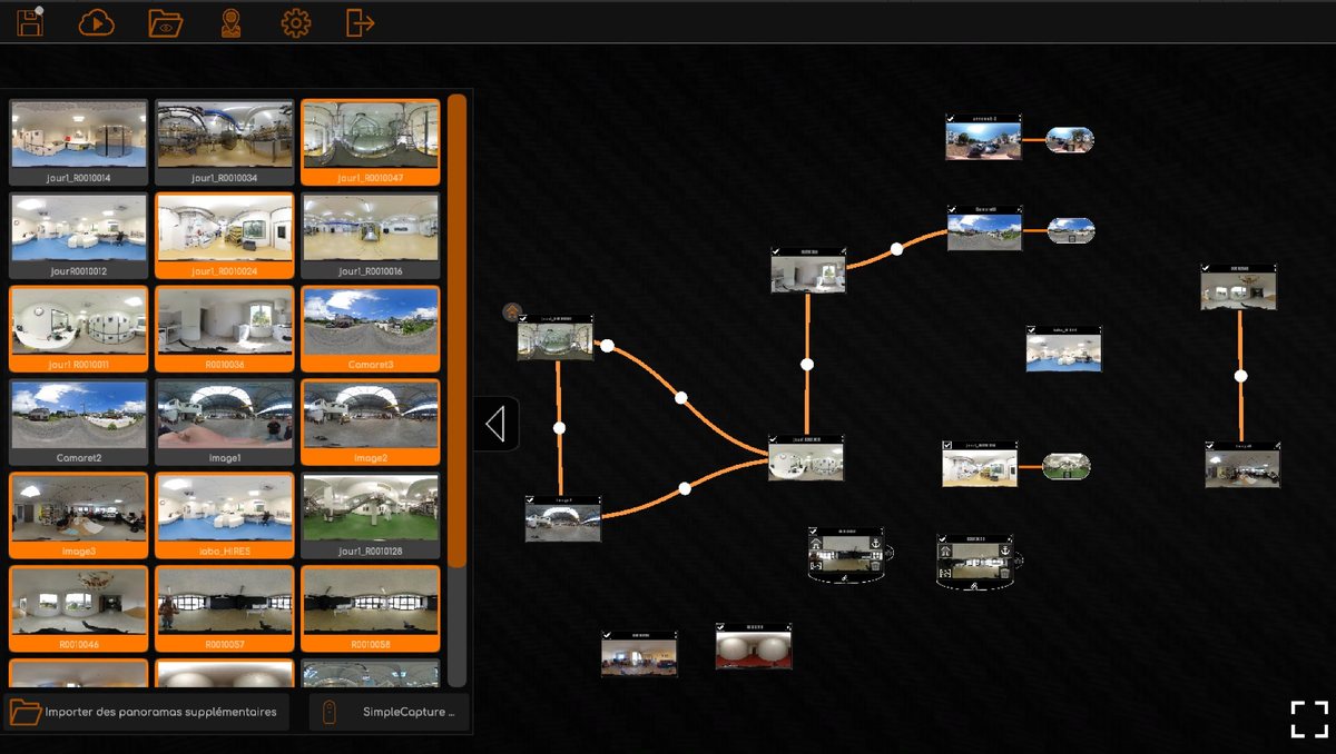
Import into PanoBuilder
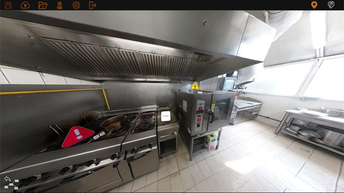
Drag and drop your photo. The app displays it instantly in an immersive view.
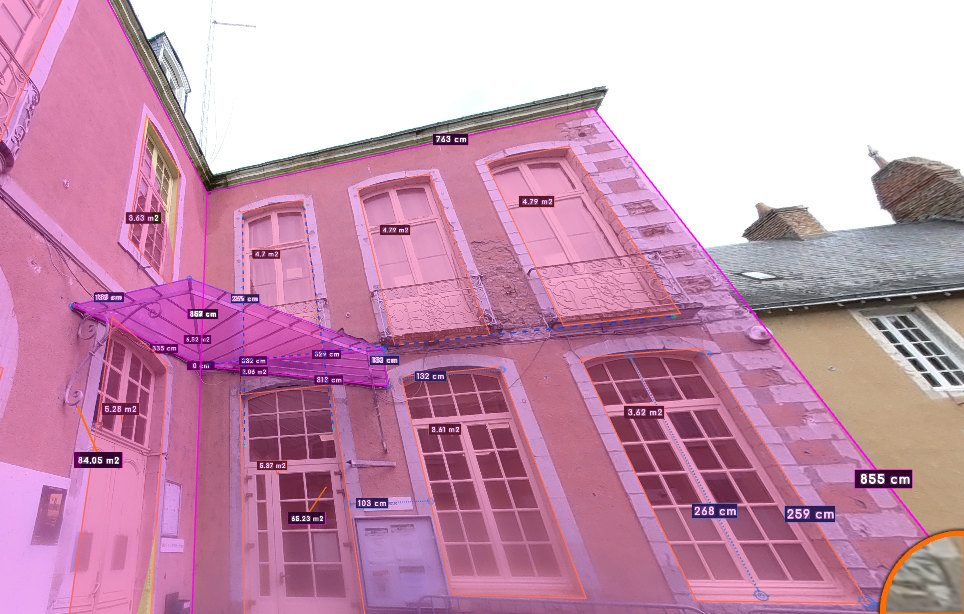
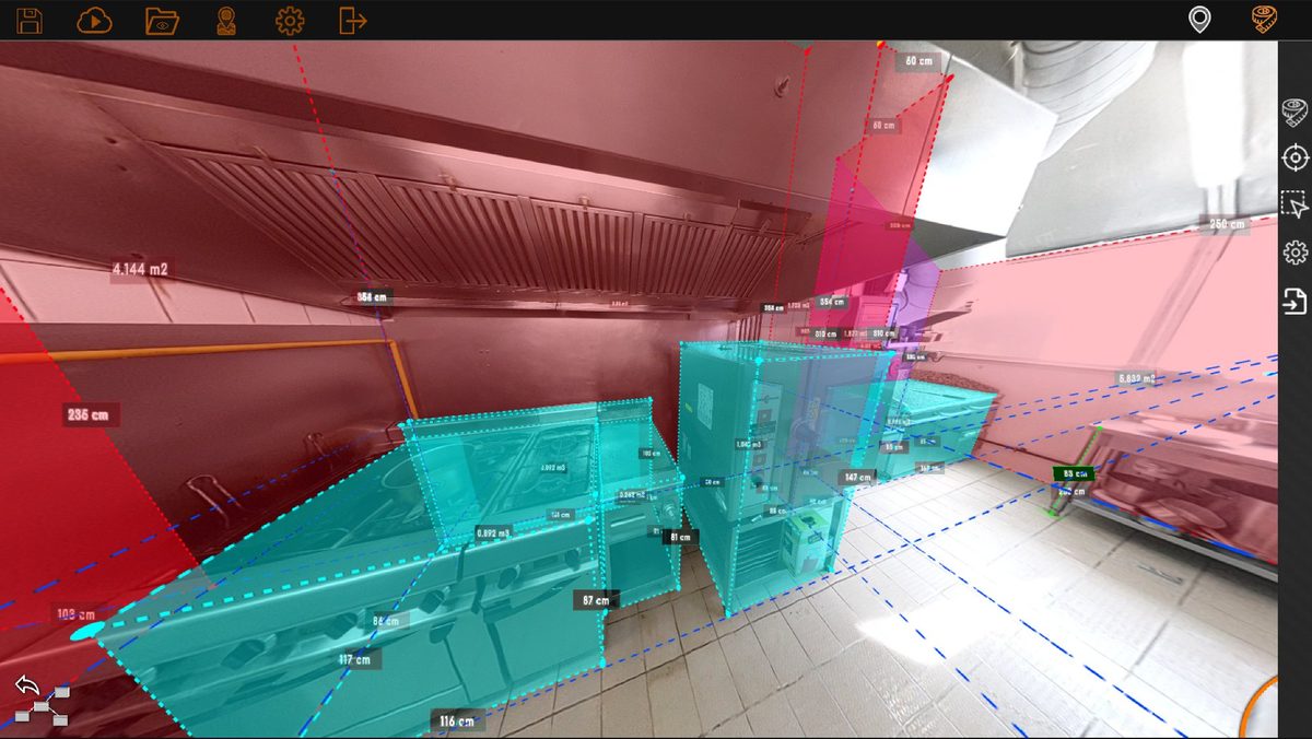
03
Measure
Click to dimension. Distances, areas, volumes — centimeter accuracy powered by AI.
04
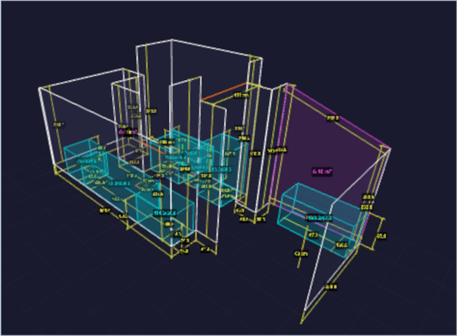
Export
DWG, CSV, WEB, 3D — your measurements ready for Autodesk, quotes or your clients.
0 min
2 min
4 min
7 min
10 min
360° Photo
Import
Measurements
Export